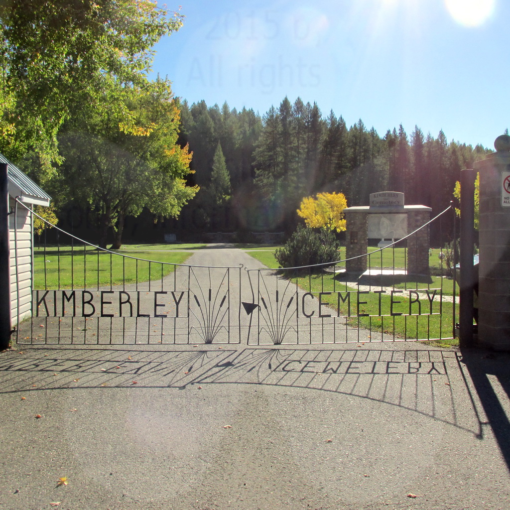
Kimberley Cemetery
Kimberley, East Kootenay Regional District, British Columbia, Canada
About
-
Get directions 340 Spokane Street
Kimberley, East Kootenay Regional District, British Columbia V1A 2E8 CanadaCoordinates: 49.67667, -115.97460 - kimberley.ca/services/cemeteries
- 250-427-5311
- Cemetery ID:
Members have Contributed
Advertisement
Photos


Office Hours: 8:30am – 4:45pm Monday-Friday
340 Spokane Street, Kimberley, BC V1A 2E8
Email: info(at)city.kimberley.bc.ca Telephone: 250-427-5311
Fax: 250-427-5252
Driving directions;
- From the north approach to Kimberley on Highway 95A, take the first left onto Jennings Avenue after the Catholic Church. The Shell Station and A&W are located on right.
- Follow Jennings Avenue about 30 meters and turn left right after the Kimberley Building Supplies.
- Jennings Avenue will continue as Knighton Road.
- The Kimberley Cemetery is located at 350 Knighton Road about 1.0 km from Hwy 95A.
Nearby cemeteries

Kimberley, East Kootenay Regional District, British Columbia, Canada
- Total memorials82
- Percent photographed23%
- Percent with GPS0%

Marysville, East Kootenay Regional District, British Columbia, Canada
- Total memorials302
- Percent photographed88%
- Percent with GPS0%

Cranbrook, East Kootenay Regional District, British Columbia, Canada
- Total memorials194
- Percent photographed70%
- Percent with GPS0%

Wasa, East Kootenay Regional District, British Columbia, Canada
- Total memorials4
- Percent photographed0%
- Percent with GPS0%
- Added: 20 Feb 2007
- Find a Grave Cemetery ID: 2207617

Cemetery Photos
This is a carousel with slides. Use Next and Previous buttons to navigate, or jump to a slide with the slide dots. Use Escape keyboard button or the Close button to close the carousel.


Success
Uploading...
Waiting...
Failed
This photo was not uploaded because this cemetery already has 20 photos
This photo was not uploaded because you have already uploaded 5 photos to this cemetery
This photo was not uploaded because you have already uploaded 5 photos to this cemetery
Invalid File Type
Birth and death years unknown.
1 photo picked...
2 photos picked...
Uploading 1 Photo
Uploading 2 Photos
1 Photo Uploaded
2 Photos Uploaded
Size exceeded
Too many photos have been uploaded
"Unsupported file type"
• ##count## of 0 memorials with GPS displayed. Double click on map to view more.No cemeteries found